Marine geologists love this new AI method that can recognize seabed structures!

by Mario Gaimann & Raska Soemantoro (joint blog post)
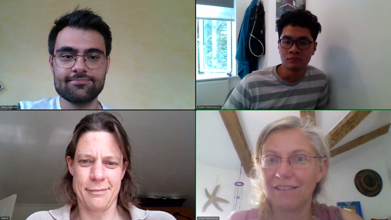
Hi everybody! It’s Raska and Mario here, back for a joint blog post. As we’re nearing the end of Summer of HPC 2021, we’ll be talking about how the project has gone since the beginning.
If you’ve been following our previous updates, you’ll know that Raska’s given a quick overview of our project and how our novel seabed classification system works (if you haven’t, be sure to check it out here). Since then, we’ve come up with newer features and developments to our software.
Previously, we’ve explained that we use a convolutional neural network (CNN) to perform classification tasks on a set of labelled training data. To do this, we use Marconi100’s GPUs (Graphics Processing Units) as explained by Mario in his last post (check it out here). As explained in their name, GPUs were designed to process graphics such as videos and images – two types of data that can be quite heavy to operate on. For this reason, GPUs perform extremely well with large bits of information, such as our training data.

Our system would have not been possible without the power of such a computing device; our training data initially consisted of a database of arbitrary image ‘cuts’ from the provided map, each containing a seabed relief. We decided to go even further with these cuts in our latest development. We employed a method called Selective Search which scans for proposed areas where seabed reliefs may exist. This gives us much more data with much higher accuracy. Because these areas equate to regions of interest, this technology is also known as Region Based Convolutional Neural Networks (R-CNN).
Furthermore, we also decided to train two models – one that learns whether a relief exists, and one that learns the type of a relief (should they exist). This helps because relief recognition on a seabed map actually consists of two tasks; relief detection and relief classification. The classification task only applies for training data that has been detected as a relief in the previous task. In programming terms, we effectively nest the second model within the other. For both of these tasks, we managed to achieve accuracies of over 90%, which enabled us to make geohazard predictions with high confidence.
Lessons (machine) learned from our AI & HPC adventure
Coming up with our seabed relief recognition architecture has been a tough but exciting challenge. We’re very glad that our physicist-engineer partnership worked very well – we could always depend on each other’s support. For most of the project, everyone involved in were situated all across Europe; two of our mentors in Italy, one mentor in Southampton (Veerle subsequently went on a marine science expedition to Cabo Verde — check it out here), and us mentees separated between Manchester and Munich. Communication via Slack and Zoom was just not the same as talking from person to person – sometimes, there were misunderstandings about the scope of what needs to be implemented by whom. Even so, we were able to tackle this by providing weekly catch-ups with our mentors and daily updates between the both of us.
Defining the scope of our project – devising a software that is able to automatically recognize subsea structures, based on the MaGIC dataset for the Calabrian coast – helped us to stay focused towards our goal. With our work plan, we knew how much time we had for each phase of the project and how realistic progress would look like. This was particularly useful to assess how much time we could spend on exploring architectures and tuning hyperparameters, for example. When there were any issues, we met up and managed to resolve them quickly. In the end, our project management enabled us to deliver on the target set out in the project description: to build an automated tool to recognise many different types of seabed structures form oceanographic data (click here for the full project description).
The tight time frame of the Summer of HPC (only eight weeks!) influenced how we approached our project. Once we had researched the relevant technologies to use, we were quick to get our hands on the implementation, knowing that composing the complete machine learning pipeline from scratch would consume quite some time. Our working mode was quite dynamic: we discussed our strategies and subsequently implemented our code independently, which was followed by a phase of integrating all parts into one unified software.
With more time and people involved, doing a more fundamental literature review as well as defining the software design before implementing it would be certainly useful.
In Manchester, United — Our Real-life Meetup!
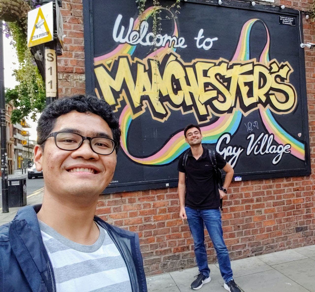
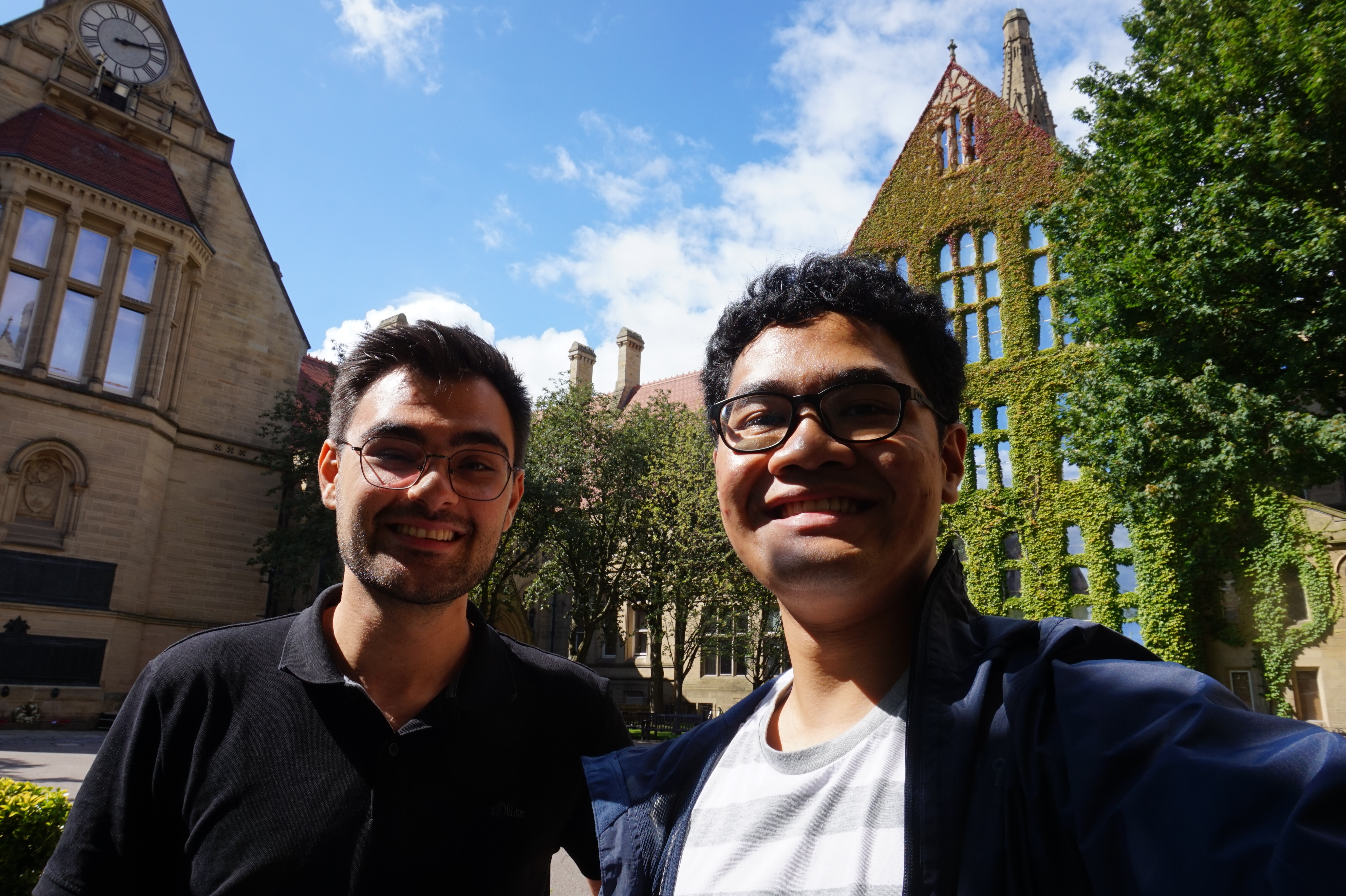
In the end, our Summer of HPC was a summer full of coding, learning and of course fun. We even got to meet up in real life in Manchester at the end of August! (Seeing what each other looked like in full after all these Zoom sessions where only our heads are displayed was in fact really interesting). During this time, we worked hard on our final video in and around Manchester University Library. For this, we even acted play-acted as marine geographers, quarrelling where geohazards in a subsea map would be located. We also explain step-by-step why you should care about locating geohazards, so be sure to check it out here!
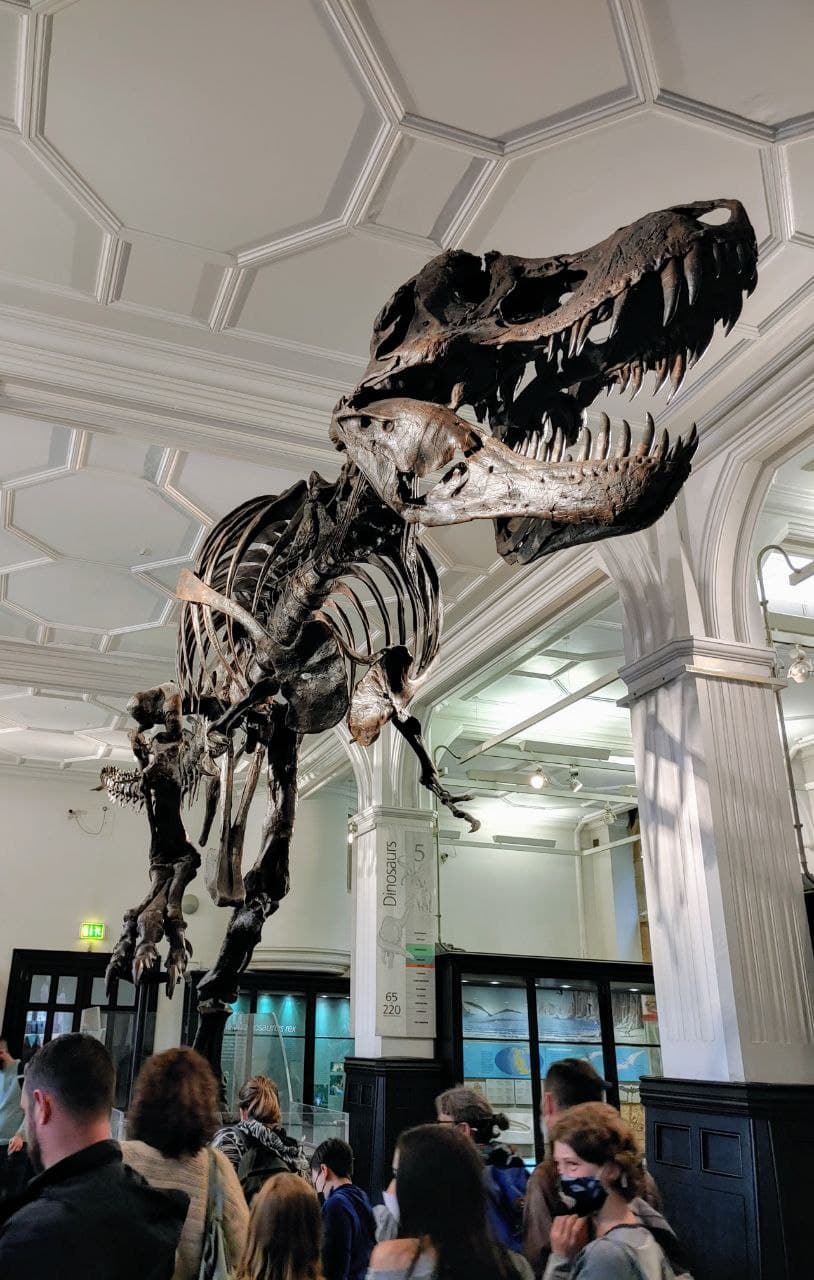
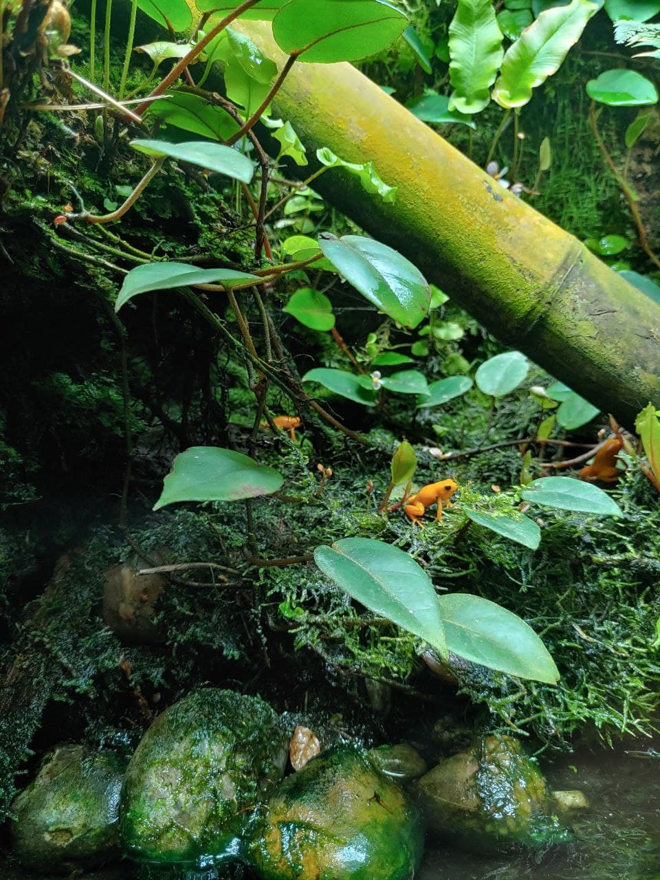
Besides work, we spent some time exploring Manchester. We visited the University of Manchester’s historic Old Quadrangle with its beautiful, ivy-covered buildings, and checked out some other faculties and departments. During one of our lunch breaks, we visited Manchester Museum, a university museum dedicated to natural history. Apart from dinosaur skeletons and minerals we also visited the Vivarium, a section focused on conserving reptiles and amphibians, where we enjoyed watching little, colorful poison-dart frogs, iguanas, and other species. Not to forget, we lived with our very own reptile friend, the lizard Dana. Carrying out a lizard-sitting mission for one of Raska’s friends, we can say that Dana became the mascot of our project, and we had lots of fun playing with her (check our video to see more of Dana).


More to come!
With a finalized tool for the automated recognition of seabed structures, lots of HPC impressions and hands-on experience, our Summer of HPC came to a happy end. But is this really the end of our submarine geology adventure? Well, maybe not! There is still a lot to do: we would really like to explore the full potential of our tool, fine-tune the parameters of our models, try out different architectures, and improve plotting our map of geohazard predictions, just to name some of our ideas. Both of us are ready and motivated to write the next chapter of our “AI geologist” story, together with our mentors Silvia, Veerle and Massimiliano.
At this point we would like to thank you for following our HPC journey! We hope that you enjoyed it and that we passed some of our enthusiasm for AI and HPC on to you. Stay curious!
